General Description
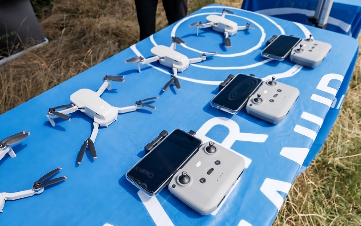
Drone flights conducted over riverbanks generate maps detailing the spatial distribution of plastic waste and the concentrations of large litter items, offering valuable geospatial data on the extent of debris accumulation.
The drone images are first processed with MAPEO-water, which is a cloud-based platform, developed by VITO. MAPEO-Water is able to process a variety of cameras and allows easy upload of the images to the cloud platform. After quality checking, calibration and georeferencing, deep learning techniques are used to detect litter on different background types: dry & wet sand, trees, grass, concrete, water, etc. and thus allows to detect litter present on the riverbanks.
INSPIRE partner responsible for implementation:
VITO, Vlaamse Instelling voor Technologisch Onderzoek
Belgium

- Goal: Detection
- Target Litter: Macrolitter on riverbanks (> 2.5 cm)
- INSPIRE Use Cases: Scheldt, Po and Rhine
- Contact: Liesbeth De Keukelaere
- Email: liesbeth.dekeukelaere@vito.be
- Website: remotesensing.vito.be
Share this:
Facebook
X/Twitter
LinkedIn
Email
Print
